BEIJING, Jan. 31 (Xinhua) -- Zeng Yelu, now 33, produced a breakthrough with a brief but innovative equation he proposed and published in the journal Remote Sensing of Environment, that enables remote-sensing satellites to see forests, crops and other vegetation on Earth much more clearly.
This practical approach has significantly reduced the imaging uncertainty caused by varying observation angles when satellites move -- from about 30 percent to 5 percent. It has been selected as one of three main standard algorithms in the world that are widely used for fluorescence satellite angular correction.
The seemingly tiny improvement resulting from Zeng's work is expected to have a far-reaching impact on smart agriculture and global efforts against climate change.
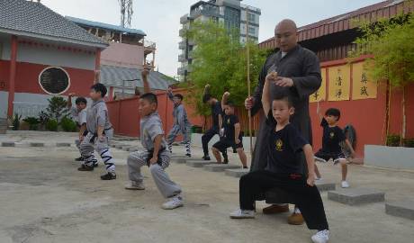
Zeng, who works at the China Agricultural University (CAU), was named among the Innovators Under 35 Asia Pacific by MIT Technology Review in 2022 for using "satellites to collect glimmers of light from plants," and monitoring "every piece of land and every tree on Earth's surface."
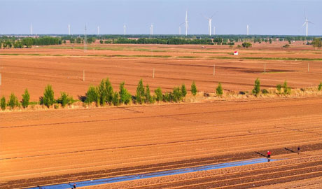
Zeng and a wine specialist are pushing forward a smart grapevine planting project based on remote-sensing and Internet of Things at Helan Mountain's east foothill in northwest China's Ningxia Hui Autonomous Region, a renowned wine region in the country, also known as China's Bordeaux.
"Water shortage is a challenge we have to cope with in this producing region," said Duan Changqing, a wine expert at CAU. "So we're exploring ways to make the irrigation more intelligent."
"The remote-sensing thermal infrared imagery provided by our model can more accurately detect the vineyard's temperature and evaporation, offering better clues as to whether the irrigation is sufficient or not," said Zeng.
"With a precision irrigation system capable of individually adjusting watering for each grapevine, the program can conserve water by about 20 to 30 percent and substantially save manpower," said Zeng.
Zeng's remote-sensing model can also be used to measure the plant's chlorophyll, photosynthetic rate and nitrogen, making precision fertilization possible.
"An excess of fertilizers can increase biomass but may not lead to better quality," said Duan. According to Zeng's plan, the grapevine's nutrients will be monitored in real time from the sky.
Unmanned vehicles, drones, and artificial intelligence techniques are to be combined with satellite imaging to monitor plant diseases, insect pests and fruit maturation, according to Zeng.
Also, Zeng's algorithm is helping scientists to better calculate the vegetation's carbon sinks.
As China presses ahead to achieve carbon neutrality before 2060, and develop carbon marketing and trading, figuring out changes to forest carbon sinks is a necessity.
This equation can be used to quantitively describe the complex canopy structures that may influence the accuracy of optical and fluorescence remote sensing used in carbon sink monitoring, said Zeng.
Integrating this remote-sensing model with drone monitoring and field biomass measurement can reduce the workload and increase the efficiency, added Zeng, hoping that his algorithm will make a big contribution to the fight against global warming.
点击右上角 微信好友
微信好友
 朋友圈
朋友圈

请使用浏览器分享功能进行分享
![]()